The London Tube Map Pocket Edition by Mark Noad


The London Tube Map Pocket Edition by Mark Noad
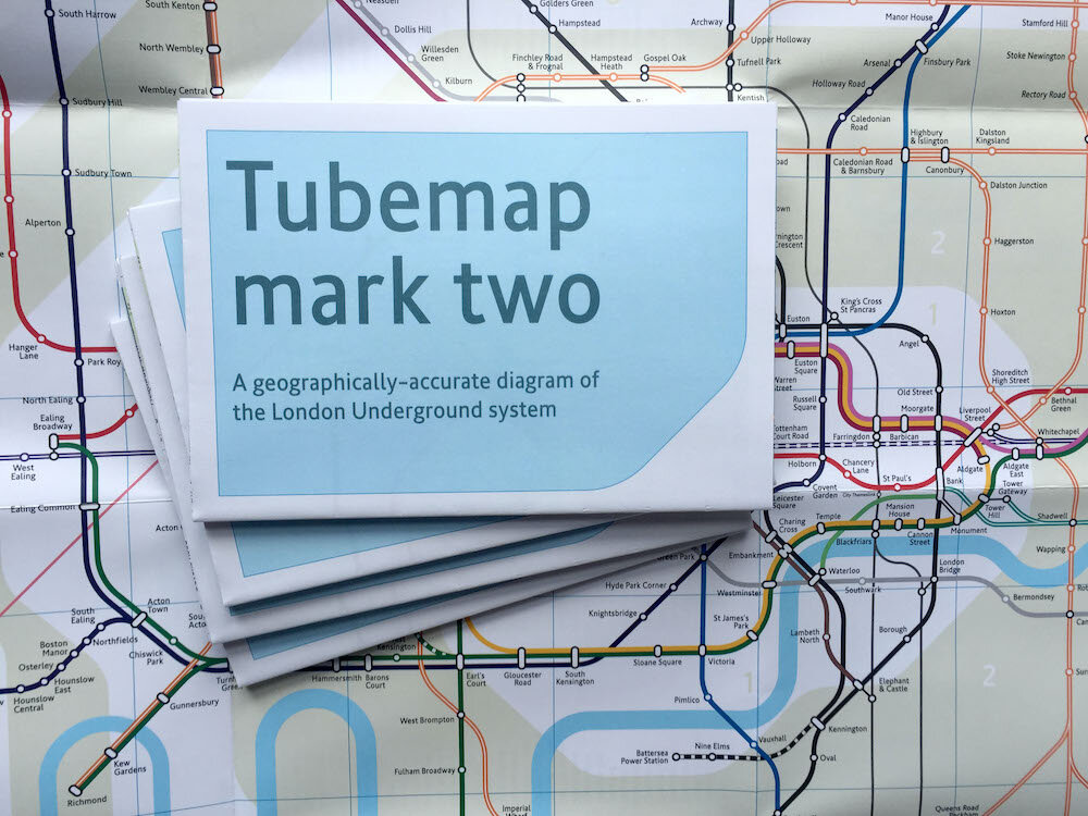
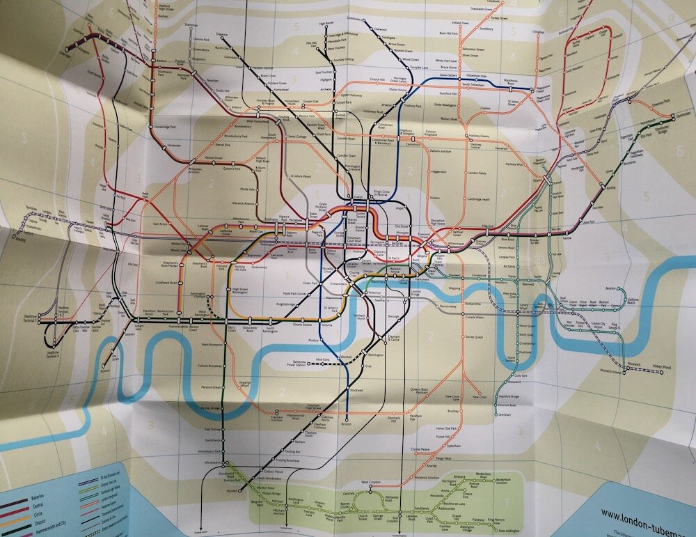
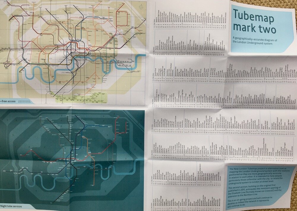
The London tube map redesigned by Mark Noad. The new London Tube map project is an alternative look at mapping the London Underground system with the stations positioned so they are more geographically accurate in relation to each other. It is intended to help people, particularly those unfamiliar with the city, to relate the underground system to London at street level.
The second version, building on the original first published in 2011, anticipates the imminent opening of the Elizabeth Line (formally known as Crossrail) and the extension to the Northern Line.
This is an on-going project and will continue to develop as indeed the network it represents will continue to do.
This pocket version of the map is 42 x 59cm.
Mark explains his original motivations below:
‘As a Londoner, I’ve always taken the Tube Map for granted, but as a designer, I’ve listened with interest to friends from outside London and overseas saying how confusing they find it especially when trying to relate it to London at street level. Harry Beck’s original is one of the greatest designs of the twentieth century but, although the current diagram still follows the same principles, they have not been applied with any great care. As a result, I do not believe Beck would have been happy to put his name to the current version.
I wondered what Beck would do asked to start again with the different parameters we have today: twice as many lines and more planned; the Docklands Light Railway and London Overground moving the emphasis away from the Circle Line loop; developments in technology meaning it is just as likely to be viewed on-screen as it is in print; and many more visitors from outside London.
The map I have created takes as its starting point the location of each station and, although there are still compromises with distance in the outer zones of the system, the stations are geographically-accurate in relation to each other.’


